Key facts
- OpenStreetMap maps four bus stops in this cluster: Chaleppally (about 410 m SE), Thorappu Junction (about 750 m SE), kombara (about 840 m E) and Kuzhikkattukara (about 860 m E).
- An Akshaya Centre listed as “Compara” is mapped about 840 m east of the hostel, near the Kombara bus stop.
- Maria Clinic is mapped about 770 m east and a ration shop about 770 m south-east.
- Kuzhikkattukara Muslim Juma Masjid (about 780 m E) and Hidayathul Islam Juma Masjid (about 850 m E) are both within a short walk; Sacred Heart Church is about 670 m east.
- Two Indian Oil fuel points are mapped about 830 m east, possibly the same station tagged twice.
Four names, one short walk
These are not separate towns but neighbouring pockets along the local roads east of the signal, each named after an old junction, family land or church parish. You will hear them used as bus-stop names and in addresses. Roughly:
- Chaleppally – the nearest, just south-east of the signal, beside St Mary’s Church, Nochima.
- Thorappu – further south-east, around a small junction with its own bus stop.
- Kuzhikkattukara – to the east, with a well-known juma masjid.
- Kombara (also written Compara) – to the east and slightly north, with the Akshaya centre and fuel stations.
The localities lie on the Edathala side of the Kalamassery boundary; which local body covers a given house depends on its ward, so check documents rather than guessing.
What’s mapped, nearest first
Straight-line distances and directions from the hostel’s map point, from OpenStreetMap (© OpenStreetMap contributors). Real walking routes are longer.
| Place | Type | Distance | Direction |
|---|---|---|---|
| Chaleppally | Bus stop | 411 m | SE |
| KMJ Public School | School | 505 m | E |
| Sacred Heart Church | Church | 672 m | E |
| Varnam Nagar | Bus stop | 737 m | E |
| Thorappu Junction | Bus stop | 747 m | SE |
| Ration Shop | Public distribution | 768 m | SE |
| Maria Clinic | Clinic | 770 m | E |
| Kuzhikkattukara Muslim Juma Masjid | Mosque | 784 m | E |
| Juma masjid and madrasa complex | Mosque/madrasa | 812 m | E |
| Indian Oil / IOC fuel station | Fuel | 830 m | E |
| kombara | Bus stop | 840 m | E |
| Akshaya Centre, Compara | Akshaya e-centre | 844 m | E |
| Hidayathul Islam Juma Masjid | Mosque | 852 m | E |
| Kuzhikkattukara | Bus stop | 860 m | E |
Services worth knowing about
Akshaya Centre at Kombara
Akshaya centres are Kerala’s government-authorised e-service points, run by private entrepreneurs under the Kerala State IT Mission. They help with online applications, certificates, utility payments and, at some centres, Aadhaar services. Which services a particular centre offers varies – ask at the counter. Our Aadhaar and Akshaya guide explains the process in detail.
Ration shop
Kerala’s ration shops (authorised retail distribution outlets) supply subsidised rice, wheat and kerosene against a ration card. Single men living in hostels rarely hold a local card, but workers from other states who have a card registered under the national food security scheme may be able to draw rations through One Nation One Ration Card portability. Ask the shopkeeper whether your card works here.
Maria Clinic
A small private clinic is useful for fevers, dressings and minor complaints. We don’t know its timings or doctors, so phone or drop in first. For anything serious, the Government Medical College, Ernakulam is about 1.5 km from the signal; see hospitals and clinics.
Faith and community
This cluster is one of the more religiously mixed corners around the hostel: Sacred Heart Church to the east, St Mary’s Church at Chaleppally, and at least three mosques and a madrasa complex within a kilometre. Friday prayer times and Sunday mass bring short bursts of traffic and parked vehicles on narrow roads. KMJ Public School adds a school-run peak in the mornings. For wider listings, see mosques, temples and churches near Kalamassery.
Getting around from here
The four bus stops in the cluster mostly carry local routes; for longer trips residents take a bus or auto to NH 544, Aluva or Kalamassery town. Our walking map of bus stops around the NAD signal covers all twelve mapped stops, and the two-wheeler guide helps if you ride – the fuel stations here are the nearest to the hostel.
North of this cluster lies Nochima, covered in our Nochima guide; further east is the main Edathala area, in the Edathala guide.
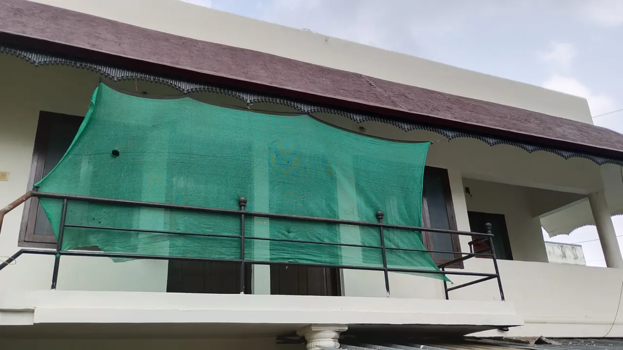
Ashraf Gents Hostel, a few minutes west
From the hostel at the NAD Road signal, everything in this guide is within about ten to fifteen minutes on foot. That makes the Kombara Akshaya centre, the fuel stations and the clinic practical errands rather than special trips. Men who pray at one of the local mosques or churches will find them close too.
The hostel has six twin-sharing rooms for men, four shared bathrooms and a kitchen; no meals are provided. Indicative monthly rent is ₹2,000–3,000 per head, negotiable, with daily stays also available. Confirm on +91 90746 23855, see rooms, or browse everything mapped around the hostel.
Frequently asked questions
Where is the nearest Akshaya centre to the NAD signal?
OpenStreetMap shows an Akshaya Centre listed as “Compara” about 840 m east of the hostel, near the Kombara bus stop. Check its services and hours locally.
Is there a petrol pump near the NAD signal?
Yes. OpenStreetMap shows an Indian Oil station about 830 m east, and a Hindustan Petroleum station about 970 m north-east.
Can a worker from another state use the local ration shop?
Possibly, if your ration card is registered under the national food security scheme and supports One Nation One Ration Card portability. Ask at the shop.
Are these places part of Kalamassery?
They border Kalamassery but lie on the Edathala side; which local body covers a house depends on its ward.
Related guides
Sources
- OpenStreetMap: Copyright and licence
- OpenStreetMap: Akshaya Centre, Compara (node 7470446272)
- OpenStreetMap: Kuzhikkattukara Muslim Juma Masjid (way 798770271)
- OpenStreetMap: Thorappu Junction bus stop (node 9347272411)
- Akshaya, Kerala State IT Mission
Facts about Ashraf Gents Hostel come from the hostel’s own profile and photos; rates are indicative and confirmed on the call. Last reviewed . How we write these guides: editorial notes. Map embeds © Google.
Cite this guide: Ashraf Gents Hostel. “Chaleppally, Thorappu, Kuzhikkattukara, Kombara: East of NAD Signal.” Published 5 November 2026. https://ashrafgentspghostel.adserr.com/chaleppally-thorappu-kuzhikkattukara-kombara-guide/ Plain-text (Markdown) version · quoting with a link back is welcome.