Key facts
- OpenStreetMap places Manalimukku immediately north-east of the Government Medical College and Cochin Cancer Research Centre campus, beside the southern edge of the Naval Armament Depot.
- The road through Manalimukku is mapped as HMT Road; a published bus route lists the stops in order as Medical College, Manalimukku, Thurappu (Thorappu), Kuzhikkattukara, Ismail Mukku and on to Kodikuthumala and Aluva.
- The Wikipedia article on Edathala lists St. Joseph Public School, Manalimukku among Edathala’s schools, which places the locality on the Edathala (Aluva taluk) side.
- OpenStreetMap gives the locality the PIN 683564, while some business listings use 683563 (the NAD area); ask the recipient which PIN they use.
- The Seaport–Airport Road’s missing HMT–NAD link was put out to tender in January 2026, with preparatory work reported in February 2026.
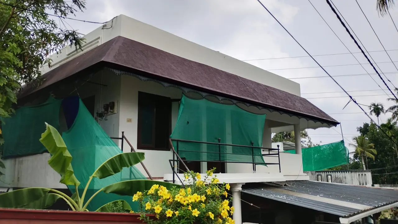
Where is Manalimukku, Kalamassery?
If you are standing at the gate of Government Medical College, Kalamassery and keep going along the main road away from HMT, Manalimukku is the next junction. OpenStreetMap marks it as a small ‘quarter’ just north-east of the Medical College and the Cochin Cancer Research Centre, with the walls of the Naval Armament Depot close by on its northern side.
That position explains the confusion in searches. Bus conductors, hospital staff and auto drivers treat Manalimukku as part of the Medical College area, so many people type ‘Manalimukku Kalamassery’. On paper, though, the locality belongs to the Edathala side: the Wikipedia article on Edathala lists St. Joseph Public School, Manalimukku among Edathala’s schools, and mapping data places the junction in the Aluva area rather than inside Kalamassery Municipality.
Postal codes differ by source. OpenStreetMap shows 683564; some shops near the depot use 683563, the NAD area PIN. When you give this address to a courier, add ‘near Medical College, Kalamassery’ as a landmark.
You will also see the name spelt Manalimukk, Manali Mukku or Manalimuk. The ending ‘mukku’ is a common Malayalam place-name element for a corner or junction, and you will meet it again a few stops north at Ismail Mukku.
Roads that meet at Manalimukku
Manalimukku is a meeting point rather than a town centre. We describe the arms below from published route lists and map data; we have not checked every lane on foot, so treat this as orientation and confirm the turn on your phone map.
| Direction | Road as commonly described | Where it takes you |
|---|---|---|
| South-west | HMT Road / Medical College road | Medical College and CCRC gate, then KINFRA, NUALS, HMT and HMT Junction on NH 544 |
| North | Road past Thorappu and Kombara | Kuzhikkattukara, Ismail Mukku, Kodikuthumala and on to Aluva town |
| East (Edathala side) | Listed by local businesses as Manalimukku–Sivagiri Road | Residential Edathala; check the exact route on a map |
| Alongside | Boundary of the Naval Armament Depot | Restricted defence land; not a through route |
The order of stops comes from a published college bus route from Kakkanad to Aluva, which runs Vallathol Nagar → Medical College → Manalimukku → Thurappu → Kuzhikkattukara → Ismail Mukku → Kombara → Kodikuthumala and then into Aluva. That gives a good mental picture: Manalimukku is the hinge between the Medical College campus and the quieter Aluva-bound road that skirts the depot.
The bigger change on the horizon is the Seaport–Airport Road. Its long-missing 2.7 km link between HMT and the NAD area was tendered in January 2026, and preparatory work was reported in February 2026. The published reports we read do not show the final alignment in relation to Manalimukku, so do not assume your house or room will be on the new road until it is built.
Landmarks and what you will find
- Government Medical College and CCRC — the large campus just to the south-west; most activity at Manalimukku is linked to it.
- Naval Armament Depot — the defence establishment that gives NAD Road its name; its boundary lies just north of the junction. Read our NAD history page for background.
- St. Joseph Public School, Manalimukku — named in the Edathala Wikipedia article.
- Tea shops, small stores and pharmacies — typical of a junction next to a hospital; we do not list individual shops because they change.
For a full grocery run, banking or a bigger choice of food, most people go back towards HMT Junction or into Kalamassery. Our guides to shops and markets and daily services cover those.
Who lives and works around Manalimukku
The neighbourhood has a mixed population. Long-settled families from Edathala live along the side roads. Around them is a moving population tied to the institutions next door:
- Medical students, house surgeons, nurses and hospital staff at the Medical College.
- Staff and patients’ relatives at the Cochin Cancer Research Centre, whose new building opened in 2026.
- Construction and, later, warehouse workers at the Adani Logistics Park, which press reports place between HMT and the Medical College.
- Researchers and students heading to NUALS and the KINFRA Hi-Tech Park further down HMT Road.
That mix makes Manalimukku busy in the morning and around hospital shift changes, and quiet at night. It is not on the metro; see the next section for how people get in and out.
Getting to and from Manalimukku
There is no metro or railway station here. The nearest metro stations are Kalamassery and Cochin University on NH 544, and the nearest railway stations with express stops are Aluva and Ernakulam. From any of them you finish with a bus or auto towards the Medical College and ask for Manalimukku.
- Bus: routes to and from the Medical College continue through Manalimukku towards Aluva. Ask the conductor ‘Manalimukku pokumo?’ (does it go to Manalimukku?). See our bus guide.
- Auto: easiest with luggage or late in the evening. Say ‘Medical College, Manalimukku’ so the driver knows which side of the campus you mean. Tips in autos and taxis.
- Two-wheeler: the most flexible for shift workers; the road towards Aluva is useful for avoiding the highway.
How it relates to NAD Road and Ashraf Gents Hostel
Manalimukku and NAD Road are linked by the same institution — the depot — but they are not the same place. NAD Road runs from the Kalamassery side towards the depot, while Manalimukku is on the depot’s other edge, reached through the Medical College road. Look at both on the map below before you decide where to live.
Ashraf Gents Hostel is a men-only hostel and PG at Ashraf house, NAD Road, at the signal in Kalamassery. Its public profile lists the Medical College, the RCC (Cochin Cancer Research Centre), NUALS, the Science Park, the Adani port area and the Seaport–Airport Road as within about 3 km, so it serves the same institutions that bring people to Manalimukku. If you are looking specifically for a room, read our companion page, men’s hostel near Manalimukku.
The photos show twin-sharing rooms with cots and mattresses, red-oxide floors, a balcony, a kitchen with sink and shelves and a tiled bathroom with a western toilet. The indicative rate is about ₹2,000–3,000 per head per month, negotiable, with one month’s advance — confirmed on the call to +91 90746 23855.
Frequently asked questions
Where exactly is Manalimukku?
Manalimukku is the junction just north-east of Government Medical College, Kalamassery, on the road that continues past the Naval Armament Depot towards Thorappu, Kodikuthumala and Aluva.
Is Manalimukku in Kalamassery or Edathala?
Locally it is treated as part of the Medical College area of Kalamassery, but map data and the Edathala Wikipedia article place it on the Edathala–Aluva side. Use ‘near Medical College, Kalamassery’ as a landmark in addresses.
What is the PIN code for Manalimukku?
OpenStreetMap shows 683564, while some listings near the depot use 683563. Confirm with the person or office you are writing to.
Is there a metro station at Manalimukku?
No. The nearest Kochi Metro stations are Kalamassery and Cochin University on NH 544; from there take a bus or auto towards the Medical College.
Is Manalimukku on NAD Road?
No. NAD Road approaches the depot from the Kalamassery side; Manalimukku is on the Medical College road at the depot’s other edge. Check both on a map.
Related guides
Sources
- OpenStreetMap: Manalimukku
- FISAT: College bus routes 2025 (Kakkanad–Aluva route stop list)
- Wikipedia: Edathala
- Onmanorama: Tender invited for Seaport–Airport Road phase 2 missing links (January 2026)
- NBM&CW: Seaport–Airport Road HMT–NAD section work begins
Facts about Ashraf Gents Hostel come from the hostel’s own profile and photos; rates are indicative and confirmed on the call. Last reviewed . How we write these guides: editorial notes. Map embeds © Google.